NOTE: IN ORDER TO BETTER SEE PHOTOS IN THEIR FULL 1600 PX. RESOLUTION, VIEW THEM IN THE ALBUM FORMAT BY CLICKING ON THE LEAD PHOTO OR ANY PHOTO IN THE POST. This is especially true for landscape shots. Thanks to Mark for the idea of adding this alert so the photos can be seen at their best!

Sunday, April 29, 2012

Grapeyard Ridge to Injun Creek -There's Bear in Them Thar Woods!

We've been home for five days now, and our adventures exploring the Great Smoky Mountains National Park are behind us...for now. We plan on getting back in a year or two in the fall to check out more trails in the Greenbrier area, and get down to the Cataloochee area of the park as well. I'm a little nervous about how crowded it might be with fall color going on, but we'll just have to plan in advance and maybe stay off the main roads on the weekend.

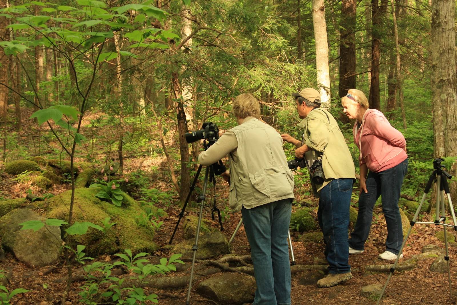
I do have one more adventure from our trip to relate! On our last day in Tennessee it was raining a little and Wayne wasn't feeling up to a hike so I went by myself. I had been wanting to hike out to Injun Creek and time had run out. I packed all my camera equipment, slung my tripod over my shoulder, dressed in layers, grabbed my water sandals for creek crossings and headed out to the Grapeyard Ridge trailhead. The first 20 minutes were a pretty steady uphill slog, but then it leveled out a little and alternated between level and a slight incline. I settled into an easy pace on this deserted trail and was so happy to be on an adventure...one that would have a surprising ending!


The hiking guide had said there were multiple creek crossings, and when I came upon the first one I thought I might never need my sandals if they were going to be that small!  The second one was a little wider, and I took my tripod across first in case it was slippery or the water was fast. I wasn't risking my camera after having just gotten it back in working order!


The creek was mostly sandy and was only a little more than ankle deep. This ended up being typical of the remaining crossings, six in all. The trail changed a lot as it continued along the ridge. There were sections of rhododendren forest that were like walking through secret tunnels, and other areas of hardwood forest that were fairly open.


 At about 40 minutes into the hike I crossed the creek again, and then came into an open area full of trillium. I stopped to take a look around at the wildflowers, and was pleasantly surprised to find two red trilliums just a few feet off the trail.


Trillium Vaseyi flowers hang below the three leaves of the plant unlike the other trillium varieties we had been seeing in the park.

The climb continued. I stopped occasionally to photograph wildflowers and lichen, and looked around for remnants of old homesteads, but all I noticed was this rock wall along the trail.


I'd been hiking a long time and was starting to think I'd missed Injun Creek when I came around the bend at the bottom of a hill and there it was! Injun Creek is notable because it contains the remains of a steam engine tractor that went off the ridge and into the creek.  It was used to pull logs out of the park when they were sawing lumber for a new school in 1920. All that remains is the boiler and two wheels. 
 

When it fell off the trail the driver jumped free and no one was hurt. It sure has held up well for being in water and out in the weather for over 90 years! 


I just loved the browns and green mixed with the water from the creek and stood in the water for about 45 minutes getting different angles and exposures with the tripod.  I wish I could find more hikes like these. Gone for 3 and a half hours at this point with no cell phone service. It was time to wrap it up and start heading back even though it was so hard to tear myself away! 


Knowing it was getting late and with the temperatures dropping into the 40's I kept up a hard pace on the way back even though my shoulders were tired from carrying all my equipment and my legs were starting to feel like jelly. About 20 minutes into my hike back I crossed  a creek barefoot, having given up on changing shoes since I knew the next three crossings were close together.


 When I got to the other side I stopped in my tracks. A log was shredded all over the trail. I KNOW that wasn't like that when I came through! I had carefully looked for bear scat and marks on trees!


 I took a picture, then stepped backward...into bear poop! Heart pounding, I grabbed my gear and started walking as quickly as was safely possible on a wet downhill trail. I knew the next creek crossing was just a few seconds ahead and waited until then to clean my feet and put my shoes back on. To let bears know of my presence I started pounding my kneeling pad against the tripod around my neck. I kept this up for the next 40 minutes, hoping I didn't come upon a bear at every turn. When I was only about 10 minutes from the trailhead I came upon an upright tree that had been marked quite heavily as well. I wanted an adventure, but I was glad I hadn't come around a bend at any point and seen an actual bear instead of these signs that we were sharing a trail that afternoon!

And now...I'm home, and life is boring and completely without threat of bear. So, today I'm signing off and scooting over to Volo Bog, hoping to at least catch sight of a muskrat!

GSMNP - Cades Cove Loop

It's a long drive from Gatlinburg to Cades Cove Loop Road, but well worth the trip!  Follow the link to learn more about Cades Cove, a former mountain community that includes pioneer homesteads, barns, businesses, pasture and farmland.


It's main attraction for visitors to the national park is the abundance of wildlife. You could almost trip over the turkeys here! 


We also saw a very large red headed woodpecker, and toward the end of the loop road we spied this cute black bear cub hurrying along.  He looked a little anxious, and after peeking around a bit he trotted across the road and got going pretty fast, probably wondering where his mama went without him. We spoke to a ranger and he said that like humans, some bears are attentive mothers, and some bears aren't!  We saw a few more bears after we had lunch and drove through again, but definitely none as adorable as this one was.

Wednesday, April 25, 2012

GSMNP - Reagan's Mill and Porter's Creek


When we were unsuccessful with our quest to find the llamas of Mt LeConte Lodge we moved on down the Roaring Fork Nature Motor Trail to Reagan's Mill. Don't ask me anything about Reagan's Mill....I skipped the education this time and just enjoyed trying to capture the simple beauty of it.


 On the advice of the photographer we met on the way to Grotto Falls we checked out  the Porter's Creek Trail to try to find the elusive ladyslipper. We weren't the only ones in search of this pink temptress, and we soon stumbled upon her fan club.


I found this interesting information on the US Forest Service website:

In order to survive and reproduce, pink lady's slipper interacts with a fungus in the soil from the Rhizoctonia genus. Generally, orchid seeds do not have food supplies inside them like most other kinds of seeds. Pink lady’s slipper seeds require threads of the fungus to break open the seed and attach them to it. The fungus will pass on food and nutrients to the pink lady's slipper seed. When the lady’s slipper plant is older and producing most of its own nutrients, the fungus will extract nutrients from the orchid roots. This mutually beneficial relationship between the orchid and the fungus is known as “symbiosis” and is typical of almost all orchid species.

Pink lady’s slipper takes many years to go from seed to mature plants.  Seed-bearing harvest of wild lady's slipper root is not considered sustainable. Pink lady's slippers can live to be twenty years old or more.
Education is great...but simply adoring one of nature's masterpieces can be even better. So...enjoy!


Tuesday, April 24, 2012

GSMNP - Abram's Falls


 One of the trails we wanted to hike while at Great Smoky Mountain National Park was the Abrams Falls Trail. There is a large parking lot accessed by a short dirt road off Cades Cove Loop Road. The trail is 5 miles roundtrip, and while it starts out pretty easy it takes a steep turn at about the halfway point as you ascend the ridge.  The trail to the falls traverses pine-oak forest on the ridges and hemlock and rhododendron forest along the creek. One of the unique things about this trail was the 3 bridges at the creek crossings.


We saw two different millipedes while on this hike, one that had yellow stripes and one that had red stripes. We chatted with a nice newlywed couple from Louisianna as we climbed the ridge, and had to shed our jackets when the sun came out.  The walk was a little difficult on the inclines, but overall it was much easier than the path to Clingman's Dome. When we got to Abram's Falls we rested for a little while, enjoying listening to others talk about their adventures in the park. The falls are only 20 feet high, but quite forceful, and it was wonderful to rest in the cool shade before starting the return trip. The hike took us 2.5 hours to complete, but if you like to linger or need time to rest after inclines I would suggest allowing 3-4 hours.


Sunday, April 22, 2012

Gatlinburg

We've been staying in Gatlinburg at Camping in the Smokies for our adventures in the Tennessee side of the Smokies. We've really enjoyed this park alot. It's close enough to all the action in town and in the park but away from it all at the same time. The sites are very roomy, easy to get into, and most of them back up to the creek. We've seen squirrels, turkeys, a blue heron, carolina wrens and a woodpecker all from our camper windows. (Not at the same time!) Laundry is a bargain and owners are friendly and helpful. When we come back to the Smokies we'll most likely stay here again.

The best way to get around Gatlinburg is by trolley. The trolley stops right outside our campground, but on the two days we ventured into town we elected to drive down to the free parking area about a mile down the road at city hall to board the trolley. All lines end at the aquarium in the center of their tourist district.


Downtown Gatlinburg is the typical "touristy" town, though it is done nicely. Plenty of places to get an "old tyme photo" taken (we counted at least 8!), buy t-shirts, fudge, ice cream or candy. Wayne liked the chocolate covered peanuts at Aunt Mahalia's candy store, but I preferred the dark chocolate at the Mountaineer candy shop at Ober Gatlinburg.


We rode the tram up to the ski resort Ober Gatlinburg, walked around for 5 minutes and got back in line to ride it down. For summer visitors it's only attraction is the view on the ride, and a handful of amusements for young children. It was a bit expensive to pay $22 for a round trip 20 minute ride for two, but Wayne has never been on a tram before so that's why we went.

Ole Smoky Moonshine has a large store and a courtyard outside where a live band plays music. We visited the store twice, sampling the different flavors. We ended up buying the White Lightning, Apple Pie and Pink Lemonade flavors. On our second visit I had five different samples and was pleasantly tipsy for the next hour! Doesn't take much when you only drink 2 or 3 times a year!


GSMNP - Trilium Gap trail

We chose the Trilium Gap trail on the Roaring Fork Motor Nature Trail so that we could see Grotto Falls, the only falls in the park that you can walk underneath. The trail is about 3 miles roundtrip and is all uphill to the falls, but the ground is fairly spongy and the grade is constant but not overly steep. The roundtrip took us about an hour and a half, but most folks would want to allow two hours because we tend to move pretty fast. Wayne is always on a mission, for some reason! I only complain when he hurries on the way back because I like the cardio workout on the way there.


I knew that the trail was also used by the LeConte Lodge at the top of Mt LeConte to restock their supplies...by llama! Cuidado! Llamas!


We didn't see any llamas on the trail, but a few others caught glimpse of a black bear off trail. When we got home I did some more research and found out the llamas are on the trail around 6 am on Monday, Wednesday and Friday, and make their return trip in the afternoon. They ususally make it back to the parking lot by 6 pm, so we made a plan to return that night and when we got to the trailhead at 5:15 we were too late and the trailer was already gone. Guess we'll have to see the llamas next trip!

We did get to see Grotto Falls though! We also met a photographer on the trail and had a nice chat with him about coyotes in the news as well as local endangered wildflowers. Brian Jorg was very knowledgeable and friendly, and also very patient in letting all the tourists get their time in at the falls until he had his turn. He has photography classes available, so anyone interested in taking one while in the area should check out his link!

Saturday, April 21, 2012

GSMNP - Clingman's Dome


On our last day in Cherokee we decided to take the drive up to Clingman's Dome, elevation 6,643.


When we got to the top it was all fogged in, so I checked out the lichens on a tree for a few minutes and then we decided to go ahead and risk the 1/2 mile walk up to the summit and hoped that the fog would clear by the time we got up there. We got a few peeks at the surrounding mountains and made a new friend from Massachusetts who was wearing an Acadia National Park t-shirt. The climb was paved...but STEEP with a gain in elevation of 330 feet! Our hearts pounded the whole way, and even though it was foggy and 50 degrees I had to take off my jacket and I was still sweating as we climbed up! But, eventually we made it...and saw absolutely nothing due to "t'ick o' fog".


We did learn a lot about the wooly balsam adelgid who is responsible for the destruction of 70% of the park's mature Fraser fir population. Those darn non-native insects! We also enjoyed watching the dark eyed juncos flying around at the summit...but we did NOT enjoy the hike down. Our poor knees demanded repeated doses of arthritis strength Tylenol as well as repeated applications of ice when we got back to the RV. No pain, no gain, right?


Friday, April 20, 2012

GSMNP - Roaring Fork Nature Trail or It Was Bound to Happen Sooner or Later

So, here's how the story innocently begins.
Oh, Honey, let's take a drive down the Roaring Fork Motor Nature Trail!
Maybe we'll see some bears!


We wove in and out through the forest. Look at how beautiful!
Stop the truck! I've just got to take a picture of those wildflowers on the side of the road!


A perfect Trilium specimen! Didn't even have to leave the pavement!
But wait...look at that creek! Okay, Wayne, I'll jump out into the middle of it with you.
But first, you take the tripod and camera.
Here, I'll hand it across to you, because I know I would drop it.
Whew! Can't believe I made that jump!
Thanks for grabbing my hand, Sweetheart, that was a close one.
Thank goodness I didn't try to jump with that camera in my hands!
Well, those shots were disappointing, I guess we'll head back across to the truck.
Gee, that gap sure is scary after I almost fell in the first time.


You all know how this ends, right?
Wayne jumped the gap...holding the tripod and camera (WTF?) and...fell in.
It was bound to happen sooner or later. I just can't believe it wasn't me who did it!


Is this how the story ends? With my faithful companion locked in a ziploc bag full of rice?
Would I have to interrupt my vacation to go buy a new camera due to water damage?
Luckily, after almost 24 hours and a whole day with nothing but a not-as-versatile point and shoot as my companion, it finally turned back on again. Back into the rice it went until the next morning, and it's been shooting faithfully for 48 hours straight again. When we get home I'm sending it in for a full spa treatment! 

Cherokee


We stayed at the Flaming Arrow Campground while in Cherokee. The owner was very nice and helpful, the campsite was roomy but a little bit difficult to get into and get out of. The road through the campground had tight corners and was not big enough for two to be on it at the same time, which could present a problem on the long approach driveway if someone was leaving and checking in at the same time. Not the most scenic of spots with mobile homes all around the outer perimeter of this somewhat small campground, but there really aren't many choices in Cherokee. If we're ever in this area again we'll stay at the campground we saw at exit 20 in the Maggie Valley area and check out the Cataloochee area of GSMNP instead of coming in through the Cherokee entrance.

We came to Cherokee because I was curious about my Cherokee heritage. My grandmother's grandmother was Cherokee, and I have no information on her except her name and date of birth and death. I was hoping there was some sort of genealogy records here, and when I asked at the Museum of the Cherokee Indian it seemed like the answer was probably not much in the way of official documentation. They had a book in which they looked up the last name I had, but they didn't find record of it and said she was most likely from the Western Band of Cherokees who had made the migration from here to Oklahoma on the Trail of Tears. I had read a book on John Ross and the Trail of Tears before our trip, and it didn't occur to me that her story probably began in Oklahoma. Those dates are important! However, the story of the Cherokee indian did begin here.


 The museum itself was a disappointment, but I didn't regret the $10 admission fee if it helps them update their facility and improve it. Not a lot of artifacts or information, and the lighting was so poor I was unable to get decent photographs of what little they did have. They also relied heavily on exhibits that were recordings of people's stories, which is how their people communicate, but I am a visual learner and walked right through those exhibits because there wasn't much (if anything) at them to engage me, and no written version of the story being told that I could read myself instead.

The town was very rundown looking, and chock full of tacky shops and amusements. It seemed the only thing shiny and new was the huge casino, besides the local schools and Head Start facility which were pretty amazing and I'm assuming the casino invested in.  Shoplifting seemed to be a big problem with signs warning about prosecution front and center everywhere we went. Very sad as this problem is most likely linked to the casino.

The only thing in town we did enjoy was the smattering of bears painted for auction. I always like finding these guys. I've seen horses in Lake Geneva, bears in Maine, sturgeons in Door County, and a few I've most likely forgotten.