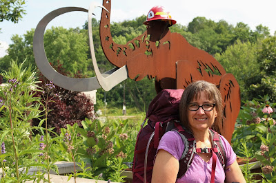
The IATA headquarters is in Cross Plains and I wanted to stop in. I met a few folks working there and Matt took my picture outside with the mammoth before I went on my way. I had packed my Osprey backpack for an overnight trip, but it turns out I hadn't read the Guidebook correctly and the dispersed camping area was on the small Cross Plains loop and not on the Table Bluff segment, both of which are in Cross Plains. Since I had already dropped my bike at the end of the Table Bluff segment I just walked from the IATA to my original destination and I would figure out where I was spending the night when I returned.
Downtown Cross Plains is under construction so a little detouring might be on the agenda if you are in the area. The signs were good, and watching the big bucket was a unique way to start out a hike.
From the start I really felt the 35 pounds on my back and was a little worried about how I'd hold up for the long haul.
It was about a two mile walk through town and down Hwy 14 to the trailhead. After turning onto County KP things got a little less hectic and a little more scenic.
By the time I could see Table Bluff my back had adjusted to the weight and I was feeling pretty comfortable and confident.
The trail up the bluff was pretty easy with a couple of switchbacks loaded with wildflowers and views worth stopping for.
It was a little strange not to take off my pack whenever I used my camera, but I was afraid if I took it off it would get harder to put it back on!
While looking for information on the Table Bluff segment I ran across a blog with an opinion of the IAT's efforts similar to the one I've recently voiced but better articulated. It made me feel a little less bitchy!
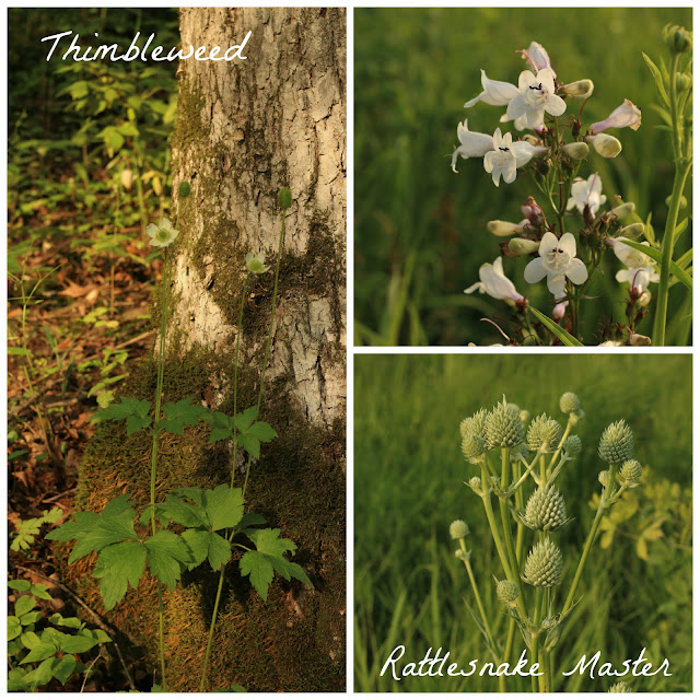
One thing that did not make me feel bitchy was the amount of flowers on this trail.
I'd never seen Horse Nettle before, and while I've seen Lead Plant it is something you don't see everywhere. It's a good indicator of high quality prairie environment and while it is a slow grower its deep root system withstands fire well.
Another plant I saw that I've never seen before was False Gromwell. The Lakota made a tea from the root and seeds of the plant to treat swellings on injured horses according to the NPS Wind Cave website. I guess next time I'm out in South Dakota I'll have to keep my eyes open for it.
 |
| False Gromwell |
While I wasn't thinking about South Dakota on this hike it turns out that one of our patients was getting ready to go there on a family trip and our new Optometrist used to live there.
 |
| Culver's Root |
I also saw Culver's Root, not to confused with Culver's the restaurant, a place anyone traveling through Wisconsin should stop at. Personally I ask for my sandwich without the butter on the bun, but I am a big fan of their grilled chicken sandwich which tastes like something you'd make at home and not like fast food. Cory is a fan of their cheese curds and their concrete mixers. Too much dairy for me!
 |
| White Prairie Clover |
The path across the top of the bluff eventually enters an oak savanna where I had to pick up the pace a little to keep ahead of the mosquitoes.
But there are distractions in the woods, too, never fear.
There was also a display on chert at a bridge crossing. Chert is composed of fine quartz crystals and resists erosion and chemical breakdown. With its sharp edges, pieces of chert were used by Native Americans to form tools.
From the woods I came out into another prairie with spots along the trail that looked likely to be places where the deer were lying down during the day.
The Table Bluff segment was 2.5 miles but I walked almost 2 miles just to get to it, and taking the road on my bike back to the IATA parking lot made for a quick and easy 4 miles since it was mostly downhill. There was no shoulder but traffic was light.


Good idea to drop off the bike. I never thought of that.
ReplyDeleteLovely post Pam. Such beautiful flowers. 35 pounds seem quite a pack to carry. Do your comments about no camping and no water on the IAT mean no one can really through hike it? Love the opening picture of you as well as the one on the trail. But how in the world did the green "babe" get out there. I laughed out loud. I'll bet you did too when you saw it.
ReplyDelete